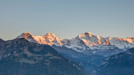
Interlaken - Ringgenberg - Roteflue - Harder Kulm


- 5:30 h
- 11.92 km
- 1,192 m
- 454 m
- 564 m
- 1,756 m
- 1,192 m
- Start: Interlaken Ost, train station
- Destination: Harderbahn, mountain station
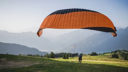
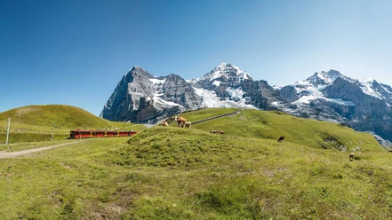
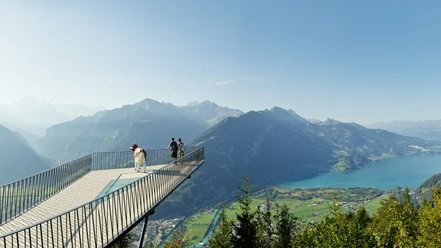
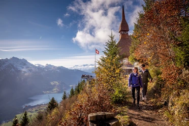
From Interlaken Ost the hiking trail first leads gently along the Aare and the railway line to Ringgenberg. There the steep and challenging mountain trail for experienced hikers with good fitness begins. Via Blatti, through a shading forest, the path leads to the Graggentor, a natural rock gate. The path to Alp Horet and further to Roteflue runs gently along the Wannichnubel over the ridge of the Harder. Past the Harder Klum restaurant the destination, the mountain station of the Harderbahn, is not far.

Good to know
Best to visit
Directions
Interlaken - Ringgenberg - Graaggetor - Roteflue - Harder Kulm
Equipment
Normal hiking equipment, hiking boots with a good grip sole, hiking poles make the ascent easier.
Directions & Parking facilities
Via Bern or Lucerne to Interlaken. From the south via Grimsel Pass (only in summer) or via Simplon Pass and Lötschberg car shuttle to Interlaken.
Uncovered parking lot directly next to the Interlaken Ost train station.
Arrival and departure via Interlaken Ost train station.
Additional information
(in the printed summer panoramic map of the Jungfrau Railways)
License (master data)
Safety guidelines
Mountain hiking trail with some exposed sections.
Nearby


")
