Circular hike Haslerenegg


- 2:00 h
- 6.03 km
- 287 m
- 287 m
- 566 m
- 853 m
- 287 m
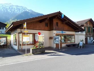
- Start: Tourist Office Bönigen
- Destination: Tourist Office Bönigen
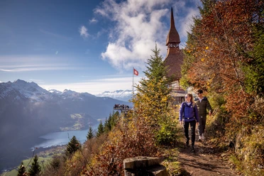
Walk from the tourist office through the Oberdorf, up the Riedgasse towards Riedli. The ascent over the Ried leads you over a wooden bridge (Houetenbach), towards Stockere and further up towards Bannwald. You will again reach the Houetenbach, this time you must cross the stream bed. The stream usually has no or very little water. Then continue following the path through the forest. A narrow trail now leads you up to Haslerenegg. After the steep ascent to 854 m above sea level, you can sign the summit book! The path then takes you down to Sytiberg, towards Oberallmi and back to Bönigen.

Good to know
Pavements
- Street (4%)Asphalt (32%)Trail (37%)Path (26%)
Best to visit
- suitableDepends on weather
Directions
Bönigen Lake – Ried – Stockeren – Bannwald – Haslerenegg – Sytiberg – Bönigen Lake
Equipment
- Sturdy footwear is recommended
Directions & Parking facilities
- Getting there
From Bern/Thun: Leave the A8 motorway at the Interlaken Ost / Bönigen exit and then follow the signs towards Bönigen.
From Brienz: Leave the A8 motorway at the Bönigen exit, then follow the Oberland road.
ParkingPaid parking is available behind the Hotel Seiler au Lac.Public transportationTake the train to Interlaken Ost, then the bus 103 to Bönigen Lake. The bus runs every half hour.
Additional information
- Bönigen-Iseltwald Tourism
Seestrasse 6
3806 BönigenTel.: +41 33 822 29 58
mail@boenigen-iseltwald.ch
www.boenigen-iseltwald.chInterlaken Tourism
Marktgasse 1
3800 Interlaken License (master data)

Author´s Tip / Recommendation of the author
- Pack a picnic as well as something to grill and enjoy it at the Oberallmi barbecue area.
Safety guidelines
- The hike is not recommended in rain or frozen ground
Nearby





Download GPX file