Over the Greberegg to the Pochtenfall


- 4:50 h
- 12.97 km
- 800 m
- 800 m
- 979 m
- 1,650 m
- 671 m
- Start: Aeschiried, Schulhaus
- Destination: Aeschiried, Schulhaus
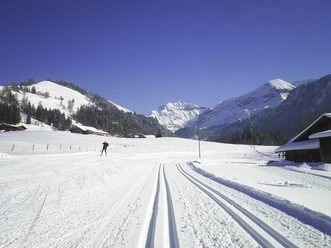
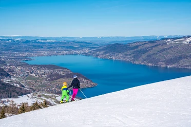
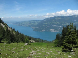
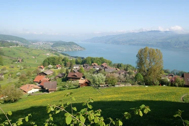
At the starting point of the hike, head towards Aeschiallmi – Brunni. After a short stretch on hard surface, the ascent follows over alpine pastures and through woodland over the Greberegg to Brunni. Every now and then, a stop looking back is worthwhile to enjoy the view into the Aare valley or towards the Niesen, to the left over Lake Thun or to the right into the Suld and Kander valley. In the forest, gaps between trees allow a glimpse of Interlaken or Lake Brienz. Straight ahead, the Morgenberghorn appears. At the Brunni mountain hut, turn right towards Louene and Suld. The route continues along a path following the slope to Huetmad, where it turns right and descends steeply to Louene. Further downhill, the Pochtenfall is reached shortly thereafter. A rest area invites you to pause and admire the impressive waterfall. The water falls over 80 meters into the depths. After another descent, the Suld guesthouse appears. Prominent guests from all over the world were once hosted in the former Pochtenfall restaurant. Now follows a restful, nature-focused, almost flat stretch along the Suldbach. The path, for a short section over pasture but predominantly through woodland, promises enjoyment and relaxation. At Staldeweid, it becomes clear that the end of the hike is near: the remaining stretch to Aeschiried runs now on hard surface or on a gravel path next to the tarmac road.

Good to know
Pavements
Best to visit
Directions
Equipment
Directions & Parking facilities
Outbound: By train to Spiez, continue by post bus to Aeschiried, Schulhaus
Return: By post bus from Aeschiried, Schulhaus to Spiez and further by train
Additional information
License (master data)
Safety guidelines
This route runs entirely or partially on marked trails of the mountain hiking path category.
Map
Swisstopo hiking map 253T Gantrisch 1:50’000
Nearby


Download GPX file