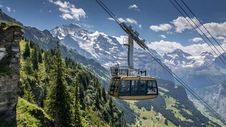
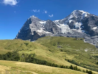
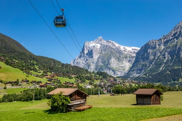
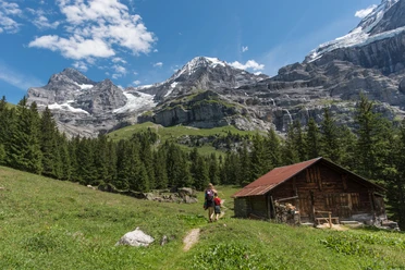
Impressive views into the valley at the forest edge


- 2:05 h
- 7.44 km
- 10 m
- 620 m
- 1,613 m
- 2,223 m
- 610 m
- Start: Grindelwald/Männlichen
- Destination: Grindelwald/Alpiglen
From the mountain lodge at Männlichen (20 min to the summit), follow the high trail for a few hundred meters towards Kleine Scheidegg. Then the path turns left downhill, crosses the debris field of a former rockfall, and passes through the combat zone of trees at the forest boundary. Up to Bustiglen, many weather-resistant Swiss stone pines can be admired. The view into the Grindelwald valley basin and towards the Wetterhorn or the massive north face of the Eiger fascinates anew each time. Past the huts, you reach the ski slope bridge over the Wärgistalbach at Arvengarten (40 min to Kleine Scheidegg) and descend on the Scheidegg pass trail over Mettla to Alpiglen (1h40 to Grindelwald).

Good to know
Pavements
- Path (46%)Trail (53%)Asphalt (1%)
Best to visit
- suitableDepends on weather
Directions
- Grindelwald/Männlichen - Bustiglen - Grindelwald/Alpiglen
Equipment
- We recommend the following equipment: sturdy mountain shoes, medium-sized backpack with hip belt, sun protection, rainwear, hiking poles, first aid kit, picnic, sufficient fluids, mobile phone.
Directions & Parking facilities
- Public transportation
Outbound: by train via Interlaken Ost to Grindelwald Terminal. Then by gondola to the Männlichen.
Return: from Alpiglen by train to Grindelwald Grund.
Additional information
- Bernese Hiking Trails Association, Bern, Tel.: 031 340 01 01, E-Mail: info@beww.ch, homepage: www.bernerwanderwege.ch
Literature
- Hiking suggestion from the Jungfrau Region Brienzersee - Oberhasli hiking guide, hiking book series of the Bernese Hiking Trails
License (master data)
Safety guidelines
This route runs entirely or partly on marked paths of the mountain hiking trail category.
Map
- Swisstopo hiking map 1:50,000 254T Interlaken