- 6:00 h
- 16.64 km
- 1,350 m
- 1,200 m
- 1,039 m
- 1,946 m
- 907 m
- Start: Gstaad
- Destination: L'Etivaz
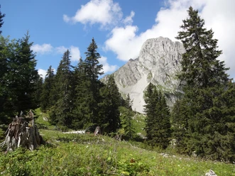
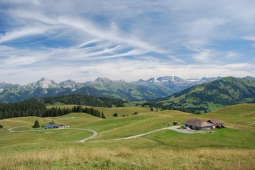
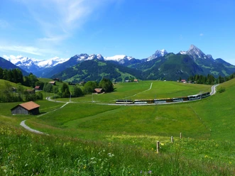
From Gstaad station through the pedestrian zone to the railway overpass and further through it to the Louwibach bridge. Now cross the valley floor westwards and ascend the slope beyond the Saane. Along a small stream, through forest and over meadows, one quickly gains height. The last 100 vertical meters to Haldisbärgli (Eggli station) are overcome in a straight line right next to the gondola operated only in winter. A magnificent panoramic view compensates for the effort of the steep ascent. The views along the high trail on the ridge between Chalberhöni and Meielsgrund are varied. Passing the huts of Vorders and Hinders Eggli, one climbs into the flank of the wooded Muttehubel. Now the path descends into the hollow before the alpine hut Wilde Bode (to Meielsgrund–Gstaad 2h, unfortunately half on hard surface; to Gour de Comborsin–La Videmanette 2h20, mountain hiking trail), a saddle on the ridge between Eggli and Gummfluh.

Pavements
- Asphalt (12%)Street (1%)Path (63%)Trail (24%)
Best to visit
- suitableDepends on weather
Directions
- Gstaad - Eggli - Wilde Bode - Col de Jable - L'Etivaz
Equipment
- We recommend the following equipment: sturdy mountain boots, medium-sized backpack with hip belt, sun protection, rainwear, hiking poles, first aid kit, picnic, sufficient fluids.
Additional information
- Association Berner Wanderwege, Bern, Tel.: 031 340 01 01, E-Mail: info@beww.ch, Homepage: www.bernerwanderwege.ch
Literature
- Hiking suggestion from the hiking book Simmental - Saanenland, hiking book series of the BWW, order at: http://shop.bernerwanderwege.ch
License (master data)
Safety guidelines
- This route runs entirely or partly on mountain hiking trails.
Map
- Swisstopo hiking map 1:50,000 263T Wildstrubel