Alpbeizli Trail


- 2:00 h
- 5.73 km
- 280 m
- 510 m
- 1,296 m
- 1,751 m
- 455 m
- Start: Habkern, Lombachalp-Roteschwand
- Destination: Heubühlen Alpine Pasture
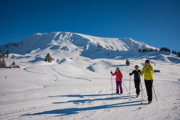
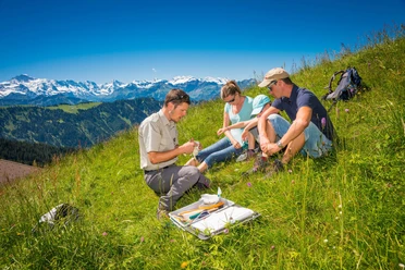
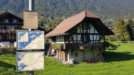
Most of the elevation gain occurs right at the start, during the ascent to the Winterröscht. Along the way, you’ll cross part of the Habkern-Sörenberg moorland. Once you reach the Winterröscht, you’ll be rewarded with a panoramic view of the Eiger-Mönch-Jungfrau trio. A few minutes’ walk later, the “Seven Stallions” (to the north) and the Hohgant (to the east) appear on the horizon. Before descending into the Teuftal valley, you’ll catch a glimpse of the beautiful Lake Thun on your left. From here on, the Alpbeizliweg is marked with hand-carved wooden signposts. The first part of the descent takes place through the forest, followed by a stretch on paved road. After about 25 minutes on asphalt, you’ll catch a glimpse of the Heubühlen Alp on your left. From there, it’s just a 10-minute walk through fields and woods until you can treat yourself to some delicious food on the sun terrace of the Heubühlen Alp, hosted by the Brunner family.

Good to know
Pavements
- Trail (38%)Path (30%)Asphalt (32%)
Best to visit
- suitableDepends on weather
Directions
- Lombachalp – Winterröscht – Oberi Brönd – Alp Heubühlen
Equipment
- We recommend the following gear: Sturdy hiking boots, a medium-sized backpack with a hip belt, sunscreen, rain gear, hiking poles, a first-aid kit, a picnic lunch, plenty of water, and a cell phone.
Additional information
- Bern Hiking Trails, 031 340 01 01, info@beww.ch, bernerwanderwege.ch
License (master data)
Safety guidelines
- This route follows, in whole or in part, marked trails classified as mountain hiking trails.
Map
- swisstopo Hiking Map: 254 T Interlaken, 1 : 50,000